


|
|
|
|
The
Niagara Escarpment begins in Central New York then proceeds north and west The map to the right shows the geology of this area with respect to the Niagara Escarpment. Notice the southern section in Ohio, this feature was the southern basin and is our area of interest. The specific rock formations have resulted in a conglomerate type rock. This sedimentary rock is filled with shell and coral deposits left by the dried up ocean. Glaciation
has played a major role in the landscape formation of the area.
Over time The
objective of this Land use Classification is to create a representation of the
Southern The
area that we are interested in describing, according to the landscape are: underlying
geological, soil features along with an updated land use classification. These
are the key components for this study. The map above
depicts this Northern area as a thick black line, also know as the Great
Arc. Rocks taken from the area depict the numerous
fossils within a conglomerate rock. Many of the fossils are sea shells and
coral fragments. Thus, our hypothesis is, using Remote Sensing and
Geographic Information Science (GIS), can we depict unique features that
characterize this section of Southwestern Ohio as prevalent and distinct feature?
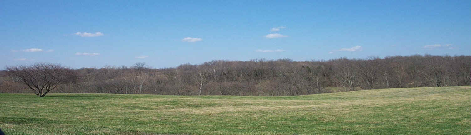
Features
such as the one on the top right, the Niagara Escarpment in Southwestern
Ontario, are very prevalent features. However, the bottom right feature
are typical in the southern basin of the Niagara Escarpment. These rolling
hills and large grassy fields are found in Highland County. This picture
was taken by Patrick Lawrence, Professor of Geography and Planning. Dr.
Lawrence has written journals related to this subject and the area
affiliated with it, both the Northern and Southern Basins of the
Escarpment.
|