 |
 |
 |
||
 |
 |
 |
||
|
Remote sensing Education and Research at the University of Toledo
|
||||
Weather by Remote Sensing Our K-12 Educational ourtreach program for research |Research|People|Education|Tools|News|Geography&Planning|Resources|GISAG
![]()
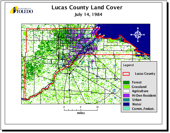
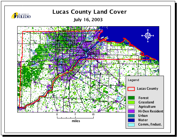
Land use land Cover maps for
Lucas County: 1984 to 2003
Web Cast (rebroadcasts)
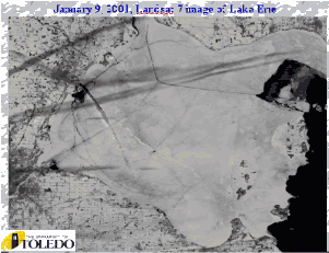
Cloud Awareness '01
Earthday 2001
Earthday 2002
![]()
Web Cast Participant's Guide
![]()
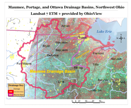
Drainage maps
Welcome to the UTView Web site. At the Univeristy of Toledo research, education, and outreach make up the three components that comprise the core efforts of UTView. UTView offers a comprehensive interface to our neighbors in the community with the research and exploration of image and spatial scientists. Research directions involve the use of remotely sensed imagery and spatial modeling to examine the environment. Please visit the People and Partners that make up UTView, thank you.
