| Home | About Me | Career Info | Remote Sensing |GIS Projects | My Photos | Travel | Writings | Links |
Ryan Chapin's Homepage
Visualization of Urban Spaces Using GIS and Remote Sensing
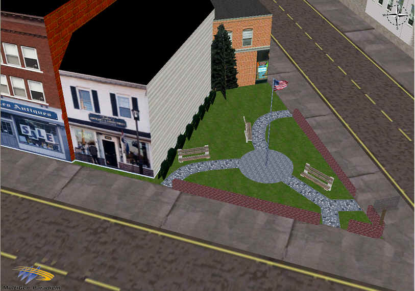
Redevelopment of Adams Street - Toledo, OH
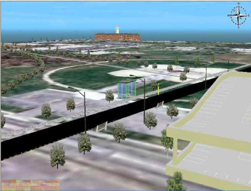
Visualization of Proposed High Tech Corridor Route - University of Toledo Section