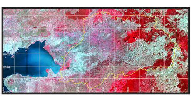
p170r60
p169r60
Data Sources
· Landsat TM and ETM+ images were downloaded from
the University of Maryland’s Global Land Cover Facility, a remote
sensing data source. Images include:
Raw Landsat TM and
ETM+ Data:
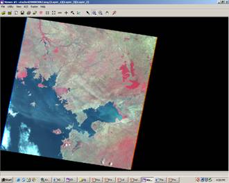
p169r60
p169r60
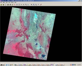
p170r60
p170r60
p170r60
p169r60
·
The