Snow Coverage Identification Using
The GOES Satellite Imagery.
 By: Joseph G. Haines III
 Abstract:
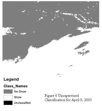
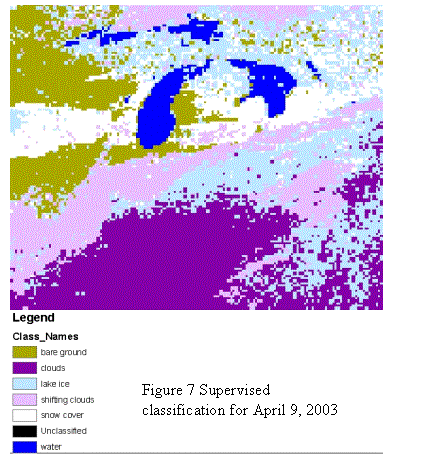
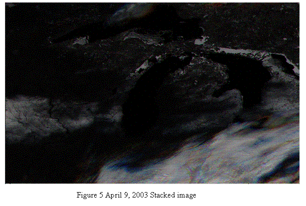
The increase in snowfall throughout the Midwestern Ohio region
this past winter season, prompted me to apply my newly acquired skills in the
field of Remote Sensing and incorporate them into this working project. Initially, using the GOES imagery supplied
by the University of Toledo GISAG Department (see image above), this project
allowed me to view GOES data and manipulate it using the ERDAS IMAGINE
software. This project takes a closer
look at snow coverage to try and determine how it affects our local area. Two images were created from the multiple
images contained within the UT View catalog.
These images were then classified using a simple unsupervised
classification and supervised classification techniques. The images that were used are taken from
January 8, 2003 and April 9, 2003.
Introduction:
This project takes a look at the snowfall coverage across
the midwestern region of Ohio. I
manipulated the raw data obtained from the GOES satellite and applied
classification techniques in order to separate the snow coverage from the cloud
coverage.
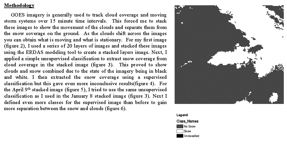
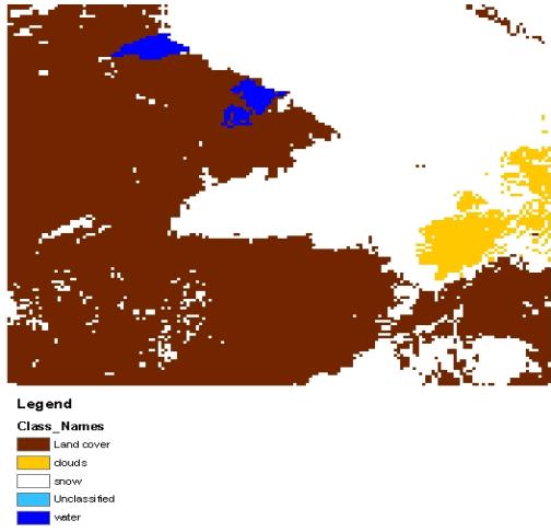

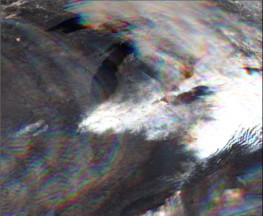
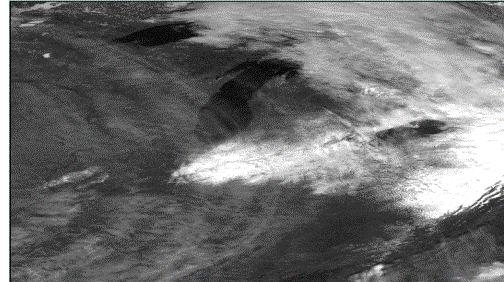
Figure 3 Unsupervised classification For January 8, 2003 images Figure 4 supervised classification For January 8,2003 image Figure 2 January 8, 2003 Stacked Image